Chicago Complete Streets
 Chicago Complete Streets

Transforming our streets into safe, equitable, inviting spaces for all - regardless of age, ability, or travel mode. CDOT’s Complete Streets work is built upon three strategic pillars:
Street Design
Redesigning streets to reflect the different ways people move around Chicago.
Community Dialogue
Building partnerships and elevating lived experiences.
Mobility Data
Using data to identify, evaluate, and prioritize investments.
 Complete Streets Programs

Complete Streets benefit all modes of transportation – walking, biking, rolling, public transit, and driving – by making our streets safer and more accessible for everyone. Complete Streets are implemented across the following programs.
Preventing severe crashes on our City's streets.
Building the best bike network in the country.
Building a safer, more walkable, and more accessible Chicago.
Evolving our streets to make the transit experience safer, more efficient, and more comfortable.
 Featured Projects & Innovations


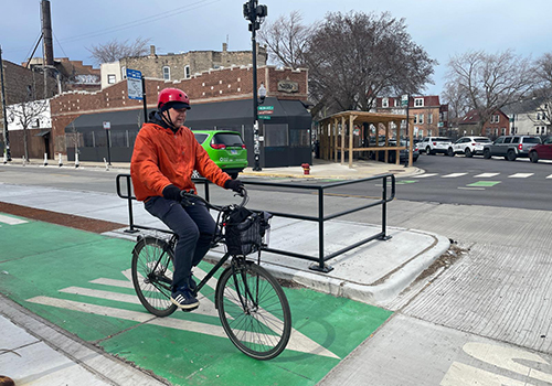
A Milwaukee Avenue that is safer for cyclists is safer for everyone: people walking, biking, riding transit, and in cars.

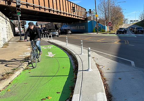
A bold redesign that prioritizes and balances the needs of people walking, biking, and riding the bus throughout the day.

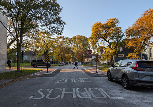
Safety installations at key crossings and intersections surrounding school campuses.
 Publications

-
Chicago Cycling Strategy - Document outlining the department’s community-driven approach to expanding the bike network and making Chicago a more equitable, safe, and inviting place for cycling. An executive summary of the Cycling Strategy is also available.
-
CDOT Strategic Plan - Aligning our streets not just with our efforts to maintain roads and keep people moving, but with our values and an abiding commitment to justice for all Chicagoans.
-
Guidelines for the Evaluation of Complete Streets Design Elements in Major Transportation Projects - Establishes the processes, considerations, and expectations that CDOT uses to guide the selection and use of safety-enhancing street design elements on major transportation projects led by the department.
 Events

 Follow us on Social Media

 Additional City Resources

Chicago Mobility Collaborative
The Chicago Mobility Collaborative (CMC) is a public forum related to walking, biking, transit, public space, mobility justice, and accessibility. Four times a year CMC brings residents and community organizations together with CDOT to help build a safer, equitable, and more accessible transportation system for everyone.
ChiStreetWork
You can learn about specific projects that you see ongoing in your community at ChiStreetWork, the City's map portal. Enter an address or intersection in the search bar, you will then see a clickable map with details on the types of projects and permits active in that location.


