Broadway Land Use Planning
Rezoning Introduced to City Council
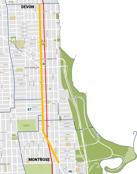
Alds. Angela Clay (46th), Matt Martin (47th) and Leni Manaa-Hoppenworth (48th) have introduced zoning map amendment ordinances as one of the first implementation steps of the Broadway Land Use Framework. The City Council Committee on Zoning, Landmarks and Building Standards will consider these ordinances at a hearing on Oct. 14.
A map of the proposed rezonings is available for review.
The Department of Planning and Development (DPD) partnered with the 46th, 47th, and 48th wards, the Edgewater Chamber of Commerce, and Uptown United to create a land use plan for Broadway between Montrose and Devon avenues.
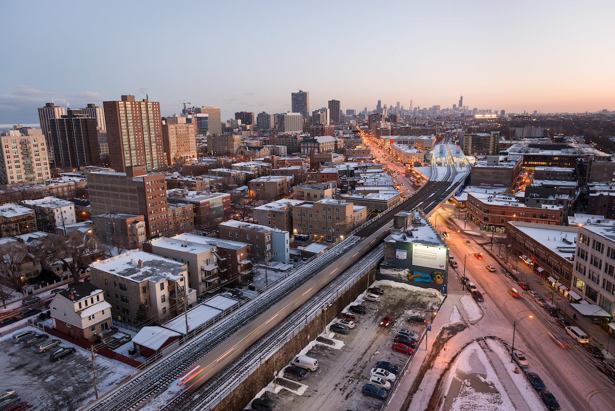
Broadway is a busy commercial street along the CTA Red Line that connects the north lakefront to jobs, stores, schools, open spaces, neighborhood services, medical facilities and other destinations.
The land use planning process built upon other recent planning efforts in Uptown and Edgewater. It focused on expectations for new development and alignment with community goals. This effort is timely, as CTA’s Red and Purple Modernization project will soon be complete and construction staging sites will become available for redevelopment.
For more information, view responses to Frequently Asked Questions.
The Broadway Land Use Framework aims to support consistent, intentional and transparent development along Broadway with clear expectations for land uses, density, zoning districts and other development parameters.
The Chicago Plan Commission adopted the Broadway Land Use Framework on Feb. 20, 2025.
This information session highlighted the land use and zoning recommendations for the Broadway study corridor, including goals and expected impacts.
Furama Restaurant, 4936 N. Broadway
The community meeting included draft land use and zoning recommendations based on feedback received.