
Types of Bikeways
 Types of Bikeways
There is no one-size-fits-all design for Chicago’s bikeways. Each segment of the bike network is planned and designed with consideration for neighborhood context, surrounding land use, connectivity to other bikeways, and access across large barriers like expressways and arterial streets.
Corridors with higher motor vehicle traffic need separate spaces for people to bike comfortably. Quieter side streets can be made into neighborhood greenways by calming motor vehicle traffic with speedhumps and curb extensions. The different types of bikeways in Chicago are described here.
North Broadway Avenue
West Roscoe Street
West Grand Avenue
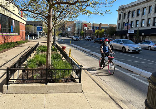
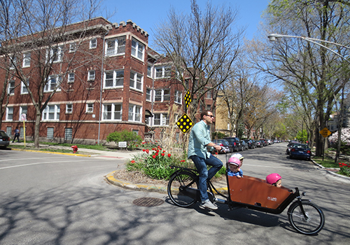
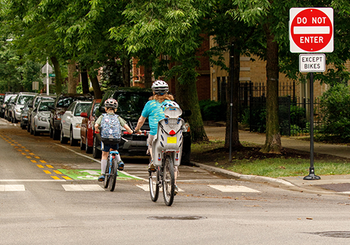
Neighborhood Greenways
With a few simple upgrades, residential streets can become low-stress alternatives to arterial roadways. Priority for cyclists is created with traffic calming for motor vehicles, enhanced signage, special pavement markings, and sometimes facilitating two-way bike travel on one-way side streets.
North Glenwood Avenue
Traffic Calming
Traffic calming infrastructure, including neighborhood traffic circles and curb bump-outs, may be installed as part of Neighborhood Greenways. These treatments improve crossing distance for people walking, better-organize traffic, and promote safer speeds at intersections.
West Dickens Avenue
Raised Treatments
Many Neighborhood Greenways include raised treatments like speed humps and raised crosswalks. This infrastructure serves to slow down drivers and cyclists, emphasizing the presence of people walking in the neighborhood and improving safety along the greenway.
West Erie Street
Advisory Bike Lanes
Advisory bike lanes are found on narrow two-way streets where drivers must slow and move to the right to pass one another. Drivers must check for cyclists on the right, slow and let them pass before moving into the dashed lane. After the cars pass each other, they move back into the center lane. Watch this video to learn more.
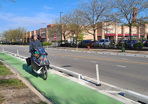
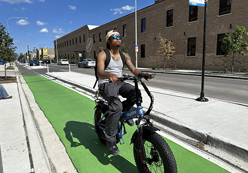
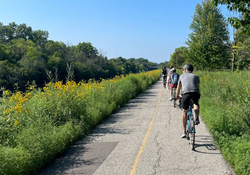
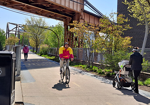
Off-Street Trails
Off-street trails are car-free spaces for walking and biking. Chicago has over 50 miles off-street trails including the Major Taylor Trail, the 606, and the famous Chicago Lakefront Trail.
North Shore Channel Trail
The Bloomingdale Trail at the 606
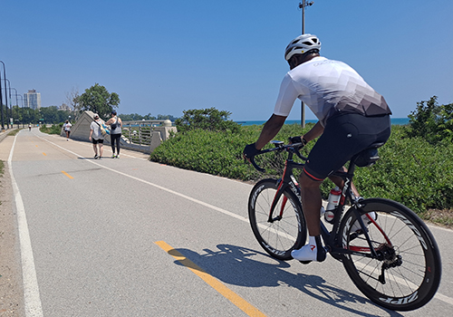
Lakefront Trail
North Winthrop Avenue
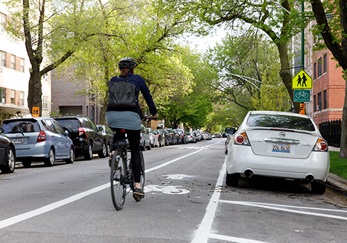
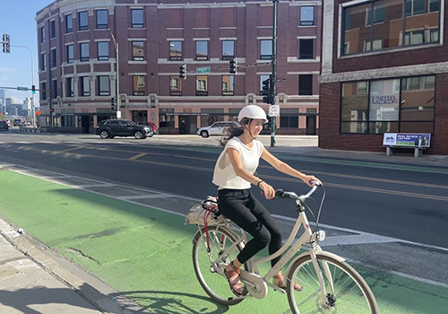
Striped Bike Lane
North Clark Street
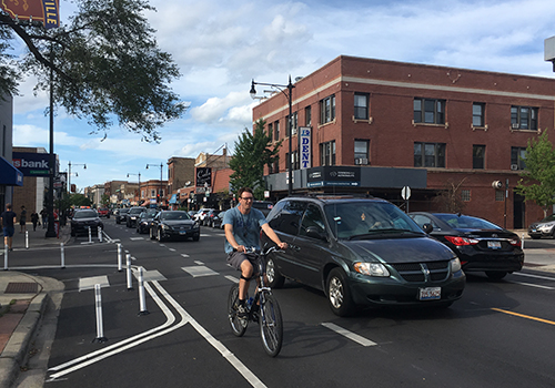
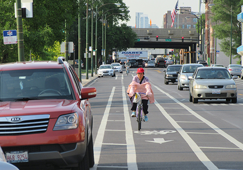
Dashed Bike Lane
West Chicago Avenue
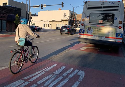
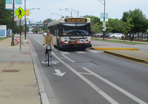
Shared Bike-Bus Lane
North Milwaukee Avenue
West Division Street
South Halsted Street
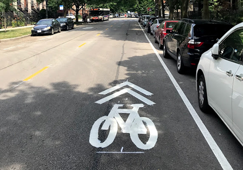
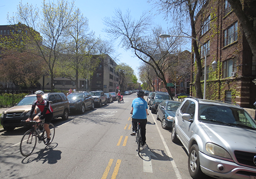
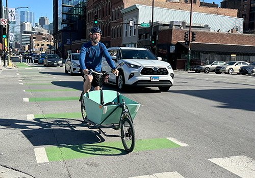
Marked Shared Lanes
Marked shared lanes have pavement markings and signs that emphasize the presence of cyclists and their right to use the full travel lane. Drivers must yield to cyclists when pulling over to park, pass with care, and slow to accommodate oncoming cars and bikes in the shared space.
West Pratt Avenue
West Jackson Boulevard
West Winnemac Avenue
Featured Design Elements
Contraflow Bike Lanes
Contraflow bike lanes are designed to allow bicyclists to travel against the flow of motor vehicle traffic on one-way streets. Signs and signals alert drivers to contraflow bicyclists at intersections. This practice creates more direct, low stress connections in neighborhoods.
West Ardmore Avenue
North Leavitt Avenue
North Glenwood Avenue
Intersection Treatments
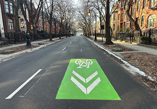
Bike Turn Boxes
Bike turn boxes are located at intersections where bike turns may be challenging. Cyclists should proceed when the light turns green straight across the intersectionand reposition bikes in the new direction. When the signal turns green, cyclists can proceed through the intersection in the new direction.
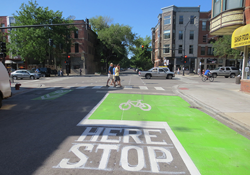
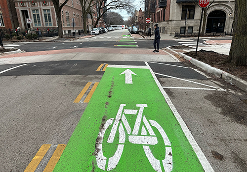
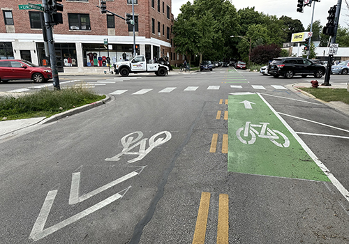
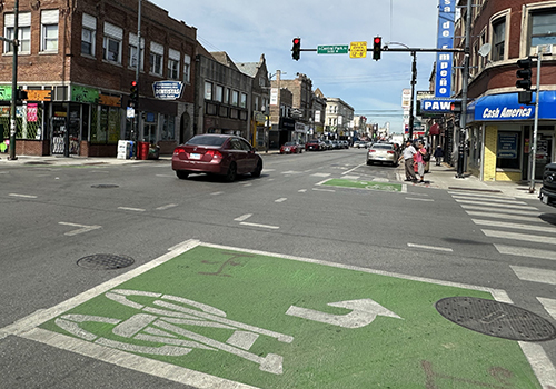
Bike Boxes
At some intersections, a green-painted space an the edge of the intersection is designated for cyclists to stage during a red light for better visibility. Drivers should stop at the stop bar in advance of the bike box.
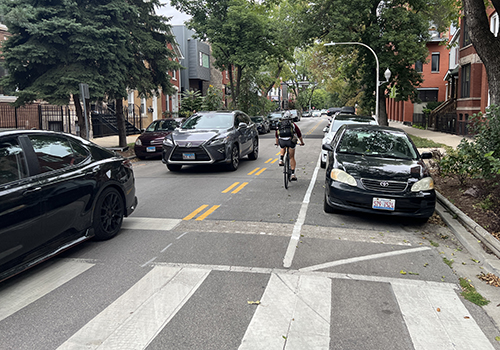
Dashed Markings
Dashed bike markings at an indicate a shared space between motorists and bicyclists. They can be used at intersections to indicate the proper path for cyclists at a complex intersection and to encourage drivers to use caution, particularly when turning.