Home
Western Avenue Corridor Study
Western Avenue rezoning
The Department of Planning and Development is now partnering with local wards to implement the Western Avenue vision and land use recommendations by proactively rezoning properties along the corridor. Find out more below about the proposed zoning.
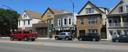
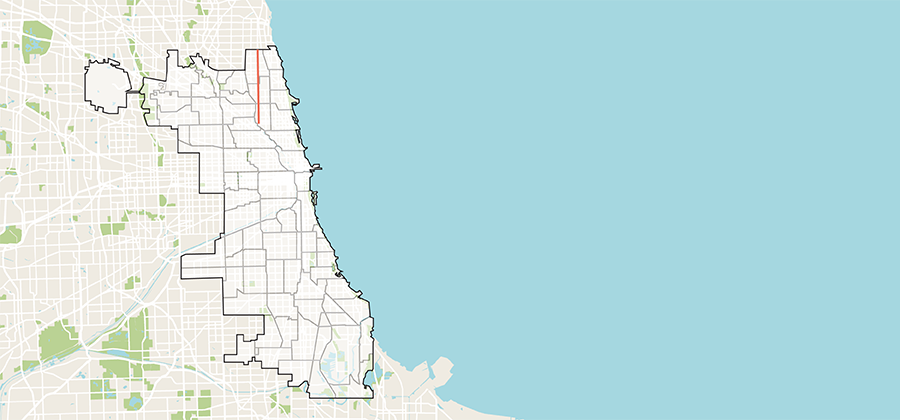
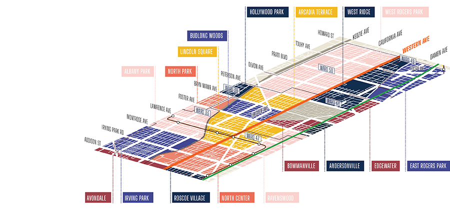
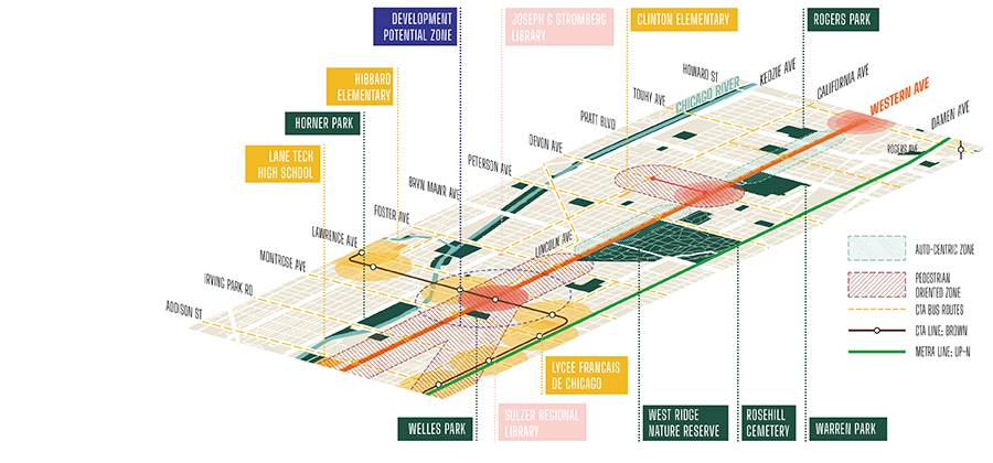
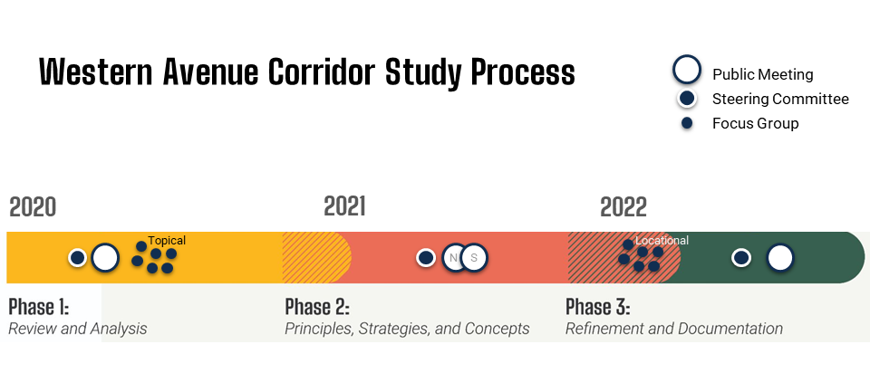
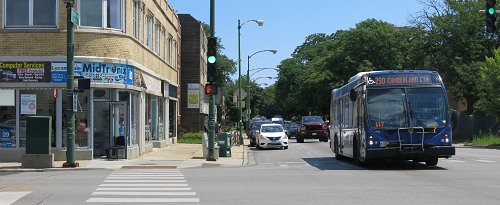
The Western Avenue Corridor Study is a community-based planning initiative led by the Department of Planning and Development (DPD) and the Chicago Department of Transportation (CDOT) that envisions an equitable, long-term future for a five-mile section of North Western Avenue, from Addison Street to Howard Street.
The study examines the land uses, development patterns, and circulation along this heavily traveled and diverse corridor. The study analyzes the potential to:
- Increase density
- Promote a greater mix of land uses
- Improve how development relates to the surrounding, lower-scaled residential areas
- Enhance pedestrian safety through a forward-thinking design and planning process.
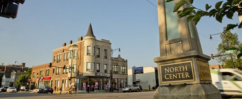
The project builds upon previous community outreach and emphasizes the voices and preferences of the diverse communities that intersect the study area, which include portions of North Center, Ravenswood, Lincoln Square, West Ridge and West Rogers Park.
Rezoning Western
Zoning is an important tool for regulating new development. As of May 2024, the City is adjusting the zoning districts along the corridor to better align with the goals for land use and development as summarized in the Western Avenue Corridor Study. The proposed rezoning defines what types of development are appropriate on Western Avenue. Although some future zoning actions may still be necessary, especially for larger and more impactful projects, the additional transparency provided by rezoning will streamline the development process and attract necessary investment along the corridor.
Related Documents
Existing and Proposed Zoning Maps — 40th Ward
Existing and Proposed Zoning Maps — 47th Ward
Existing and Proposed Zoning Maps — 49th Ward
Project Background and Zoning Overview Slideshow

Watch a recording of the final Western Avenue Corridor Study presentation from Oct. 6, 2022.
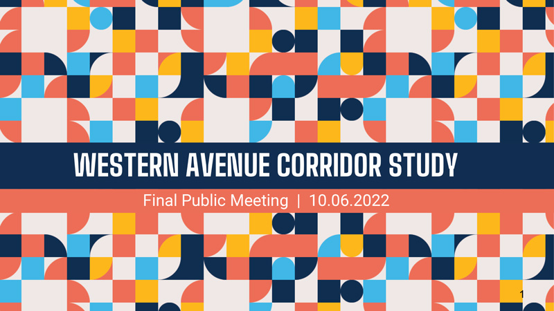
A PDF of the slides from the Oct. 6 public meeting is available for review.
The community-led planning process launched in early 2021, and was designed to include the following key components:
- Building consensus with the Western Avenue communities through a public planning process to establish a shared vision for the future
- Reviewing and analyzing corridor attributes and conditions, such as land use, zoning, parking and bike facilities, pedestrian safety, public amenities, and more
- Establishing a long-term vision for the corridor that includes future land use and zoning recommendations, design guidelines, potential public right-of-way improvements, and implementation objectives
- Developing a "Resource Reference Guide" for corridor stakeholders that identifies available tools and City resources to promote growth and improvement of the corridor